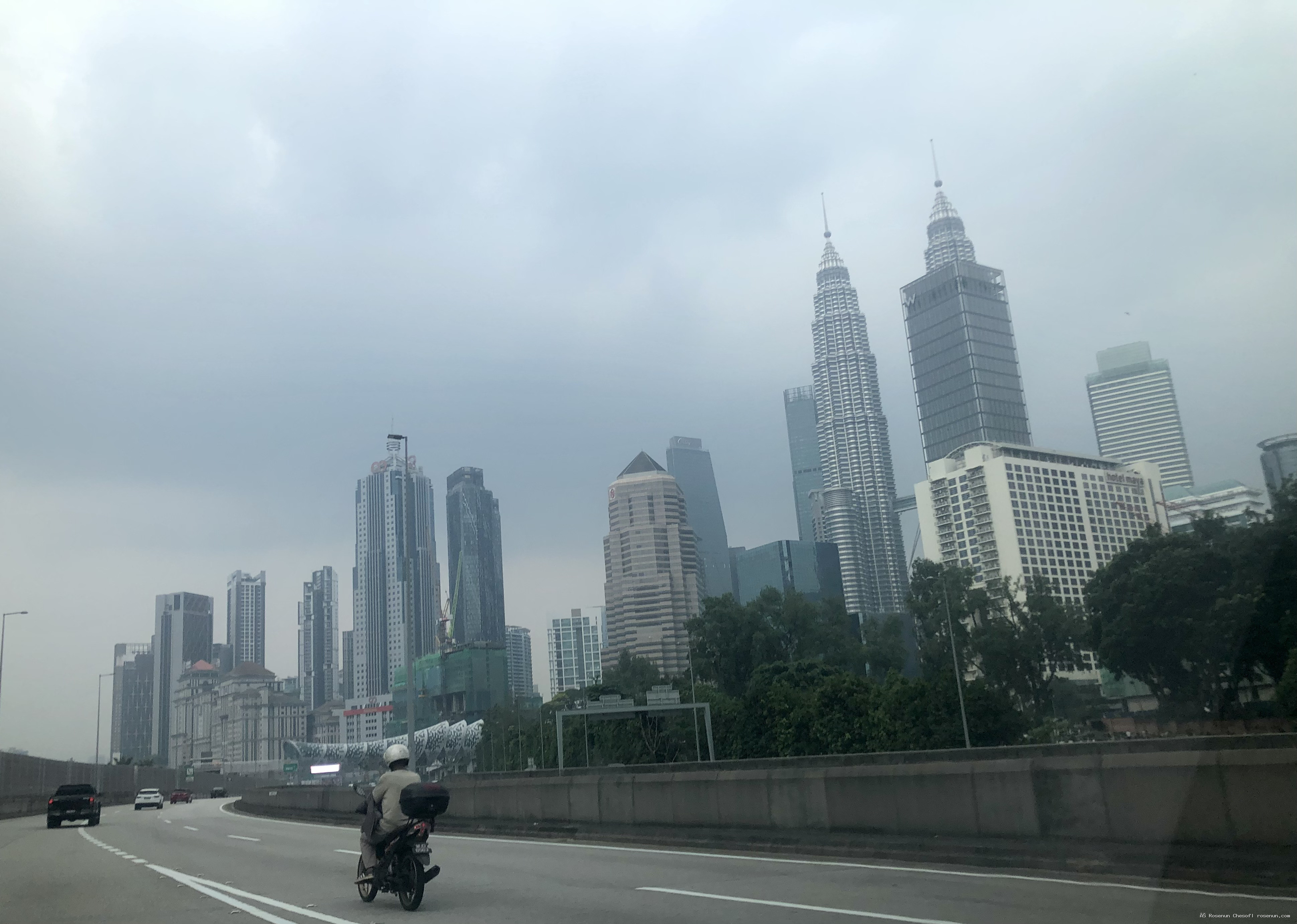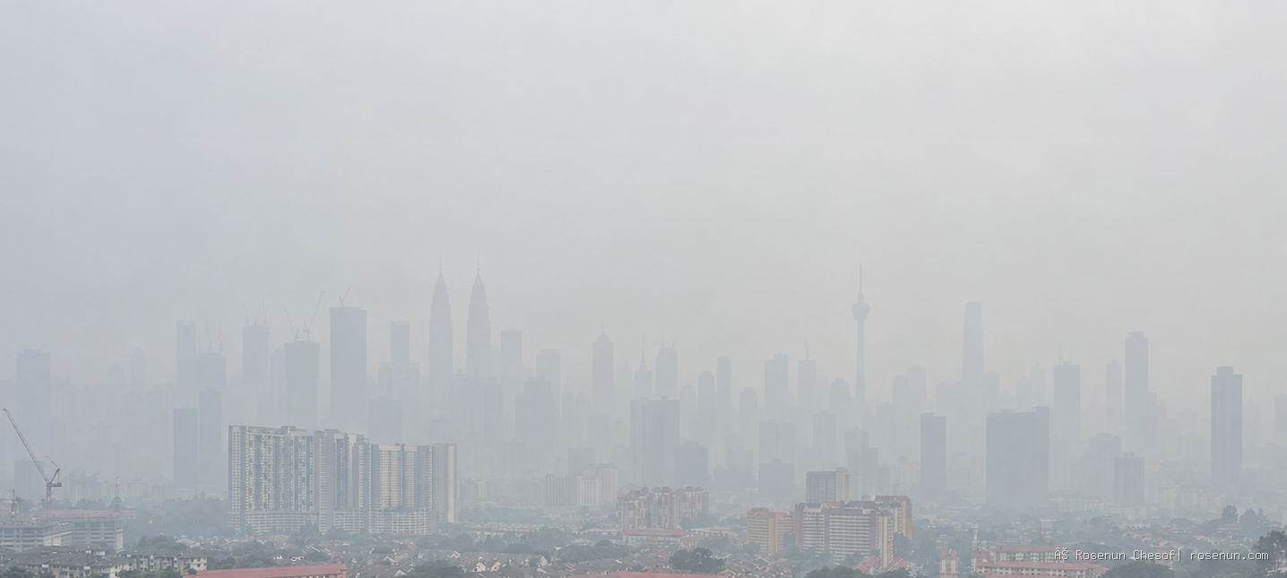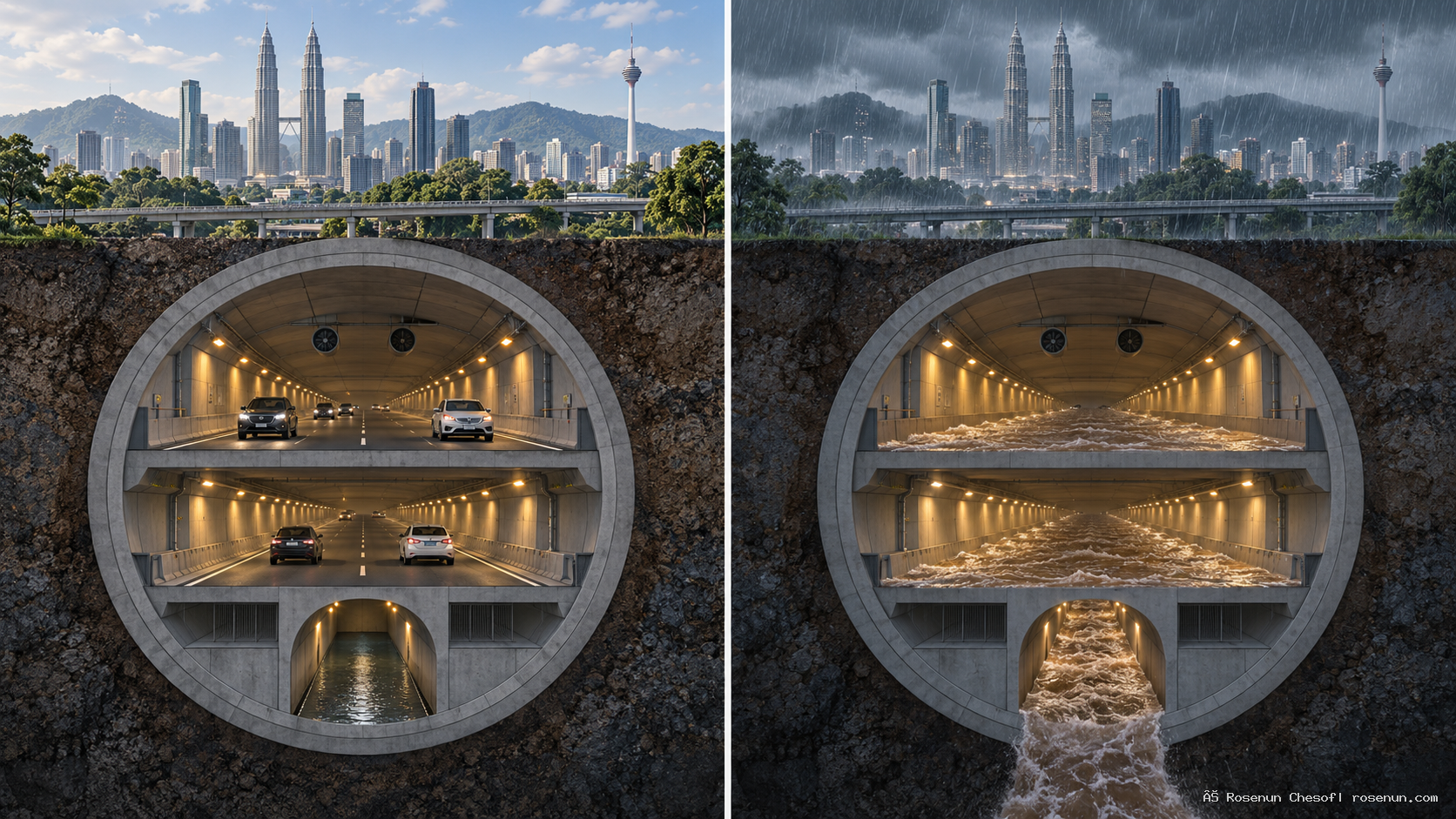
Its enduring appeal lies in the way it combines two functions within a single structure. On an ordinary day, motorists use its roads to travel into and out of central Kuala Lumpur. When severe flooding threatens, operators can close the entrances, clear every vehicle from the tunnel and, if necessary, turn the road space into an additional passage for water.
SMART stands for Stormwater Management and Road Tunnel. The name captures the central idea behind the project—and raises two questions: how can cars and floodwater take turns using the same space, and how much protection can that arrangement provide?
Kuala Lumpur’s geography helps explain the challenge. The city lies in the Klang River valley, with river plains interspersed with hills and higher ground on several sides. The Klang and Gombak rivers meet in the city centre. Its equatorial climate brings rain throughout the year, with wetter and drier periods. When intense rain falls over a short time, rivers and drainage networks can struggle to carry it away fast enough. Roads and low-lying neighbourhoods can flood rapidly.
Some of these floods subside within a few hours, although the timing depends on rainfall, river levels and local drainage conditions. Following the floods of 7 March 2022, for example, Kuala Lumpur City Hall reported that water had receded within 30–45 minutes in 25 affected areas, while four others took between one and three hours. Those figures do not establish that SMART drained all the affected areas. The tunnel serves a specific catchment and forms one part of the city’s wider flood management system.
SMART was developed to address a particular vulnerability along the Klang River: the stretch between its confluences with the Ampang and Gombak rivers. According to the tunnel operator, the low Jalan Tun Perak bridge near Masjid Jamek further restricts the river’s capacity at this point. As water levels rise, the surrounding area becomes vulnerable to overflow.
The project’s solution is to divert some of that water before it reaches the constrained stretch. A network of ponds and a bypass tunnel carries it around the vulnerable area before releasing it downstream. During the design stage, the project team incorporated a road tunnel into the system, adding a route to ease congestion at the southern approach to the city centre.
The resulting stormwater tunnel is approximately 9.7 kilometres long. Within its central section, about three kilometres contain two stacked road decks, with a separate drainage channel beneath them. The section shared with traffic therefore occupies only part of the full water tunnel. This arrangement also allows water diversion to begin while the roads remain open.
The system has four main operating modes:
| Operating mode | What happens |
|---|---|
| 1. Normal conditions | The roads remain open, and no floodwater is diverted into the system. |
| 2. Water diversion begins | Water flows through the lower drainage channel while traffic continues on the road decks above. |
| 3. Preparing the road decks | The roads close and all vehicles are cleared. If conditions improve, the road compartments may not need to take any water. |
| 4. Full flood diversion | If heavy rain persists, the evacuated road compartments are also used to carry floodwater. |
A tunnel closure can therefore be a precaution that ends without the roads being flooded. The operator states that, under Mode 3, the road tunnel can reopen within two to eight hours of closure if the road compartments have not been used for water diversion. Under Mode 4, the stated reopening timeframe extends to four days.
The city temporarily gives up a traffic route to make more room for water. That change of function has to be planned and controlled, with the roads cleared before water is allowed into the shared space.
Decisions depend on conditions across the catchment. Kuala Lumpur’s Department of Irrigation and Drainage monitors rainfall, flow rates, river levels and water levels in the ponds. These real-time readings feed into models that forecast flood conditions and help determine which operating mode to activate.
The tunnel’s safety provisions support this process. Watertight gates separate the road section from the stormwater system. Cross-passages between the road decks provide emergency exits at 250-metre intervals, alongside ventilation, surveillance and emergency equipment. Clearing vehicles before admitting floodwater is an essential part of the operating procedure.
Water entering the system follows a defined route. From the Berembang holding pond, it travels through the tunnel to the attenuation pond at Taman Desa, where it can be held before being released through the Kerayong River back into the Klang River. Intake structures, storage areas, the tunnel and downstream outlets all have to work together.
According to the Department of Irrigation and Drainage, the complete system can hold approximately three million cubic metres of water. That is its combined storage capacity, including the ponds. It should also be distinguished from the cumulative volume diverted during a flood event: water passing through the system over time is a different measure from the amount it can hold at once.
For all its scale, SMART has a defined reach. It was designed to handle water from the Klang–Ampang catchment and reduce flood risk in central areas such as Masjid Jamek and its surroundings. The operator states that flooding caused by blocked drains or other rivers, including the Gombak and Bunus, falls outside the tunnel’s coverage.
When flooding occurs elsewhere in Kuala Lumpur, assessing SMART’s performance requires knowing where the water came from, which drainage system serves the affected area and what happened during the event. A photograph of a flooded street alone cannot establish whether the tunnel succeeded or failed in its intended role.
Its presence also leaves the city with continuing responsibilities elsewhere: maintaining drains, managing other rivers and retention ponds, and planning land use. Water that never enters SMART still needs somewhere to go.
For Thai cities considering what they might learn from the project, the starting point is the local landscape and the way water moves through it. Any comparable scheme would require close attention to ground conditions, intake and discharge locations, maintenance costs, alternative traffic routes during closures, and the operational capacity to switch safely between road and flood use.
The broader lesson is about giving urban space the flexibility to serve different needs at different times. In normal weather, part of Kuala Lumpur’s underground infrastructure carries people. During a severe flood, that same space can carry water—provided the vehicles have been removed and the tunnel is made ready before traffic returns.
This brings flood planning back to a practical set of choices. When large volumes of water reach a city, where can they flow? Where can they be held? And which spaces can temporarily be assigned a different purpose?
In Kuala Lumpur, part of the answer lies beneath its streets, in a tunnel designed for cars and water to take turns.
Sources
SMART Motorway Tunnel. What is SMART?
SMART Motorway Tunnel. Operational Modes
Department of Irrigation and Drainage, Federal Territory of Kuala Lumpur. KLFM A
SMART Motorway Tunnel. Unique Features
SMART Motorway Tunnel. SMART Coverage Area
Dewan Bandaraya Kuala Lumpur. Kuala Lumpur Structure Plan 2020 — Physical Environment
Malaysian Meteorological Department. Malaysia’s Climate
Malay Mail / Bernama. DBKL: Three landslides reported in KL following flash floods yesterday. 8 March 2022.